The Volunteerism App for Pedestrian and Accessibility Mapping Imagine a world where you can contribute to the accessibility of your city simply by playing a game on your phone. Introducing GoInfoGame, a volunteerism app that leverages the power of crowdsourcing to…
AccessMap
An accessibility-first, multimodal trip planner for non-drivers Sidewalks are the vital threads linking us to travel options, but they come with challenges. AccessMap.app bridges gaps by providing detailed info on pedestrian paths, transit stations, elevation changes, curb ramps, and more. Tailor routes…
OpenSidewalks
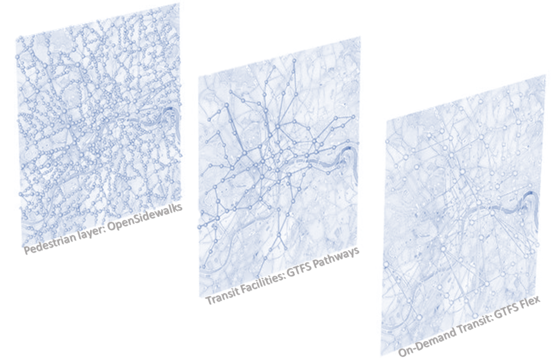
OpenSidewalks seeks to make pedestrian ways, like sidewalks, first class members of an open, routable transportation network from which we can ask a variety of important questions. This means collecting a connected network of path types with detailed attributes like…
Annotations for Pedestrian Environment (APE)
Elevating the ambitions of TDEI and OpenSidewalks, the Annotations for Pedestrian Environment (APE) dataset addresses a critical urban mobility challenge: accurately mapping pedestrian pathways, including sidewalks and crossings. This project introduces a novel training dataset featuring aerial satellite imagery, street…

