We are excited to share the latest progress on our project aimed at improving mobility options for residents in supportive housing communities. Our team, in collaboration with King County Metro (KCM) and Hopelink, is facilitating a series of workshops across…
Health Through Housing: Pedestrian Accessibility Mapping (PAM) Project
The Health Through Housing (HTH) Initiative is an innovative approach that accelerates King County’s response to chronic homelessness. Through partnerships and close collaboration between city governments, service providers and local communities, HTH purchased former hotels and converted them into permanent…
AccessMap
An accessibility-first, multimodal trip planner for non-drivers Sidewalks are the vital threads linking us to travel options, but they come with challenges. AccessMap.app bridges gaps by providing detailed info on pedestrian paths, transit stations, elevation changes, curb ramps, and more. Tailor routes…
OpenSidewalks
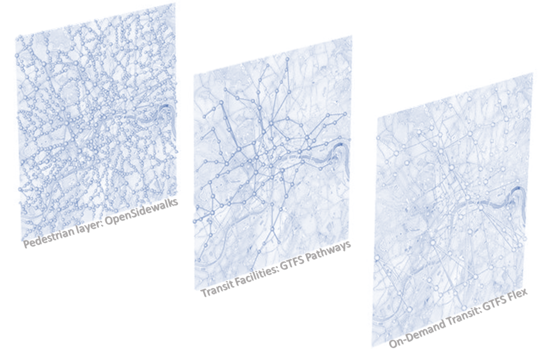
OpenSidewalks seeks to make pedestrian ways, like sidewalks, first class members of an open, routable transportation network from which we can ask a variety of important questions. This means collecting a connected network of path types with detailed attributes like…
Pilots: WA, OR, MD
Our pilot data collections will take place in 6 counties: Snohomish and King Counties in WA, Baltimore and Harford in MD, and Multnomah and Columbia in OR. Our pilot data collections with private and public partners are use cases for…

