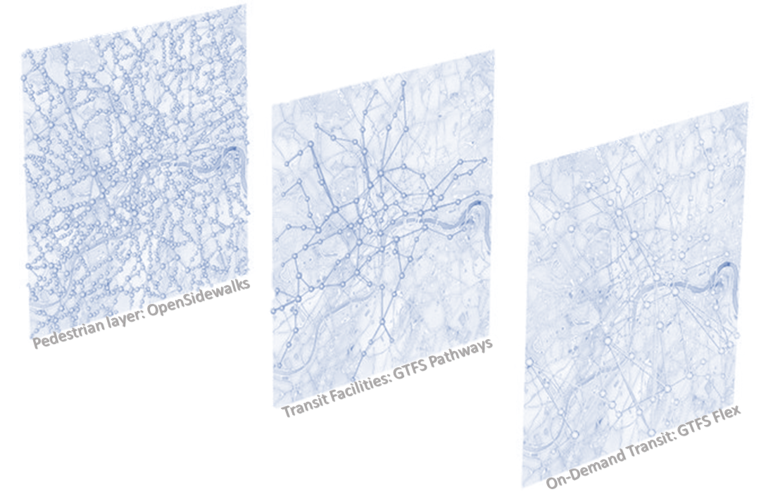
An accessibility-first, multimodal trip planner for non-drivers Sidewalks are the vital threads linking us to travel options, but they come with challenges. AccessMap.app bridges gaps by providing detailed info on pedestrian paths, transit stations, elevation changes, curb ramps, and more. Tailor routes…
OpenSidewalks
OpenSidewalks seeks to make pedestrian ways, like sidewalks, first class members of an open, routable transportation network from which we can ask a variety of important questions. This means collecting a connected network of path types with detailed attributes like…
Annotations for Pedestrian Environment (APE)
Elevating the ambitions of TDEI and OpenSidewalks, the Annotations for Pedestrian Environment (APE) dataset addresses a critical urban mobility challenge: accurately mapping pedestrian pathways, including sidewalks and crossings. This project introduces a novel training dataset featuring aerial satellite imagery, street…
Disability Justice for Urban Planners and Designers
Based on Sins Invalid’s 10 principles of disability justice, the goal of these conversation cards is to promote radical accessibility through the understanding of disability justice principles in the planning and design process for community spaces. While there is guidance…

