Mini-Conference to propel mobility equity through multimodal accessibility-first open transportation data
Please join the UW Taskar Center for Accessible Technology, accessibility & equity specialists, transportation planners, and GIS technologists for an exciting two-day meeting on the intersection of Interoperable Mobility Data, Pedestrian/Bike/Transit Access, and Mobility Justice.
The aim of this mini-conference is to foster a meaningful conversation among stakeholders about mobility equity and the ways in which it can be enhanced through open, multimodal, accessibility-focused transportation data.
The mini-conference also seeks to talk transparently about the hurdles to mobility equity, particularly the effects of insufficient open transportation data on transit operations, discoverability, planning, and transit users.
About this event
Sessions will explore how we can measure, operationalize and improve mobility equity by making mobility data open, interoperable, accessible, and sustainable through the following topics
- Accessible-Transportation Open Data – share, learn and participate in open accessibility data standards and open data format efforts.
- Capacity Building in Mobility Equity– interactive discussion & workshop on disability justice in transportation planning: what it takes to make mobility equity and mobility justice data-driven, scalable, operational and functional.
- OpenSource GIS tools – share teachings and learn about open data, open source GIS software, maps, and spatial applications.
What to expect:
Day 1 (April 21) will include plenary sessions, workshop on disability justice for transportation planners, and longer talks and birds-of-a-feather lightening sessions.
Day 2 (April 22) will focus on hands-on workshops and data experiences, as well as data standards/ data schema prioritization meetings. Participants can attend any of the sessions.
Please look for specific conference agenda and schedule below.
What are the registration options?
When signing up you do not have to choose a specific track. Ticket types include those with and without box-lunch purchase. All proceeds from ticket sales go directly toward the purchasing of food, refreshments and hybrid conference production costs.
We are specifically interested in students and the community attending the conference and have therefore designated a free ticket tier. If you need assistance, you may select the free tier option. We are sorry that we cannot offer boxed lunches to our free ticket attendees. Please choose an admissions level that works for you.
Who are the organizers?
The mini-conference is co-organized by the following entities:
The TDEI (transportation data equity initiative) is a project led by the Taskar Center for Accessible Technology and Washington State Transportation Center (TRAC), sponsored by the ITS4US Program, US Department of Transportation. We improve equitable access in travel services, travel environments and in transportation data. We build open-source data collection and vetting tools, transportation data digital infrastructure, and governance frameworks that enable public-private transportation data sharing and interoperability
CUGOS is the Cascadia chapter of OSGeo. It is focused on learning and teaching about open data, maps, and spatial applications. We like code and good conversation.
Please do not hesitate to contact the organizers uwtcat@uw.edu with any questions, concerns or requests for accommodations.
Agenda
***Please note that in addition to the sessions below, a special in-person only workshop will take place on Friday: Disability Justice for Transportation Planners and Community Members Parts 1 and 2, 1:30pm-4pm (Madrona)
Track 1 (Zillow) :
Accessibility-first Transportation Data Specifications
Producers, consumers, and practitioners involved in multimodal, accessibility-first transportation data
Friday, April 21
- 9:00 AM Welcome
- 9:30 AM Mobility Equity driven by Multimodal Accessibility-forward Transportation Data
- Matthew Weidner will share KCM Access perspective on Paratransit, On Demand Transit and Micromobility.
- Elliott McFadden will discuss a regional Mobility as a Service application recently launched in Minnesota.
- Kristin Tufte will propose an API to simplify interoperable use of multimodal accessibility-first data at scale
- 10:20-10:40 BREAK
- 10:40 AM Karen Braitmayer, Keynote
- 11:30 AM. Multimodal and Accessibility-first transportation data specifications: Presenters will discuss current efforts to build and sustain data standards/specifications capturing Accessibility and Multimodal Transportation Data at scale.
- What is the spec/standard, what is the data capturing, what can the data express?
- How is data currently consumed? What are future consumption modes?
- What are active use cases or who are active producers/consumers of the data?
- 12:30 PM LUNCH
- 1:30 PM See note about special Disability Justice for Transportation Planners workshop
- 1:30 PM Afternoon Design Charet and demonstrations: the developer/consumer perspective
- Building Applications with multimodal Accessibility-focused Transportation Data — regional scaling, appropriate raw data interpretation and incorporating travelers’ choices/preferences and needs
- Panelists/demoers will be team members from
- MOOVIT
- GoodMaps
- IBI (Arcadis and OpenTripPlanner)
- AccessMap
- 2:45pm BREAK
- 3:00 PM Standardized data production– Can aggregators and tool ecosystems help data producers address common problems: Tooling, quality assurance and best practices to collect, vet, maintain and disseminate Multimodal Accessibility-forward Transportation Data at scale
- Elizabeth Sall, Best Practices, Mobility Data Interoperability Principles
- Mark Hallenbeck, Transportation Data Equity Initiative | UW TRAC
- Maggie Cawley | Public Domain Map, OpenStreetMap US
Saturday, April 22
- 9:00 AM Welcome BACK
- 9:30 AM Community Visioning Meeting 1: Defining terms like “safety” “accessibility” or “mobility equity” is hard. Bringing decision makers, data producers, consumers and primary stakeholders to discuss common principles
- 10:20-10:45 BREAK
- 10:45 AM Sally Swanson, Keynote
- 11:45 AM. Community Visioining Meeting 2: Integrating different travel environments for active transportation. Session will include regional data integrators frontline stories
- These speakers stood up (or are in the process of standing up) a regional-based multimodal, accessible travel data integration application. What does it take to scale this?
- 12:30 PM LUNCH
- 1:30 PM. Community Visioning Meeting 3: defining priorities and data attributes in transit facilities
- 2:45 PM BREAK
- 3:00 PM Community Visioning Meeting 4: defining priorities and data attributes in the PROW Part III
Track 2 (Bezos) :
Open Source Geospatial Resources
Practitioners, developers and users of Open Source Geospatial tools, data, and analysis in the Puget Sound area and beyond
Friday, April 21
- 9:00 AM Welcome CUGOS volunteers, Welcome to the 2023 Spring Fling!
- 9:10 AM 🗣 Keynote. “I, For One, Welcome our New Overlords,” Paul Ramsey | Crunchy Data and Blog
- 9:40 AM 🗣 Talk “Mapping 15-minute neighborhoods within Seattle” Nathaniel Henry | Institute for Health Metrics and Evaluation
- 10:00 AM 🗣 Talk “The Allen Coral Atlas – monitoring coral reefs from space,” Eldan Goldenberg | Allen Coral Atlas
- 10:20 AM BREAK
- 10:30 AM 🗣 Talk “Big Data Techniques for Processing Geospatial Trips and Derived Datasets at Scale,” Trang Nguyen | Inrix
- 10:50 AM 🗣 Talk “Revolutionizing Traffic Flow – Using Traffic Signal Performance Measures without Traditional Detection Methods,” Steve Remias | Inrix
- 11:10 AM ⚡ Lightning Talk “A Spatiotemporal Analysis of Environmental and Social Conditions in Parks Prioritized by Million Trees Los Angeles,” Diana Bonnarens | University of Southern California
- 11:15 AM 🗣 Talk “iSeaTree – Quantifying & Tracking Urban Forestry Benefits with Open Data and Open Software,” Stephen Clemmer | iSeaTree / Democracy:Lab
- 11:35 AM 🗣 Talk “An interactive web based geo-spatial tool for Integration of urban Green and Blue Infrastructure,” Karsten Vennemann |TerraGIS
- 11:55 PM ⚡ Lightning Talk “From 2D to Spatial – My Data Journey and the Power of FOSS and Geospatial Technologies,” Kristen Narcisi| MicroGrid Networks LLC
- 12:00 PM ⚡ Lightning Talk “QGIS with Python – Creating repeatable spatial analyses with limited python experience,” Lisa Enns, Enns Analytics
- 12:05 PM LUNCH
- 12:55 PM 🗣 Talk “Recent Development in JTS and GEOS,” Martin Davis | Crunchy Data and Blog
- 1:15 PM 🗣 Talk “Cloud-optimized geo data formats and the Python ecosystem,” Emilio Mayorga | Applied Physics Laboratory, University of Washington
- 1:35 PM 🗣 Talk “PostGIS Fun Functions,” Paul Ramsey |Crunchy Data and Blog
- 1:55 PM 🗣 Talk “ector Tiles Directly from a PostGIS Database with db2vector,” Brendan Farrell | Clockwork Micro
- 2:15 PM BREAK
- 2:25 PM 🗣 Talk “Using RStudio for Practical Geospatial Analysis,” Roger Andre| Posit PBC
- 2:45 PM 🗣 Talk “Using R Markdown to create self-documenting research reports,” Phil Hurvitz | UW CSDE
- 3:05 PM ⚡ Lightning Talk “Using GRTS in RStudio to Build a Sampling Frame for Endangered Birds,” Matt Stevenson| CORE GIS
- 3:10 PM 🗣 Talk “Embarrassingly parallel large-scale geospatial analysis with Nearest Neighbor Gaussian Processes using the BRISC R-package,” Arkajyoti Saha | Department of Statistics, University of Washington
- 3:30 PM 🗣 Talk “Drone-based LiDAR and Thermography for the UW Community,” Keenan Ganz |University of Washington RSGAL
Saturday, April 22
- 9:00 AM Welcome to OpenSidewalks Mapping
- 9:15 AM Earth-a-thon Pitch
- 9:45 AM BREAK
- 10:00 AM The OpenSidewalks Project
- 10:30 AM Code For The Carolinas: Raleigh OpenSidewalks Mapping Team
- 11:15 AM OpenSidewalks Mapping 101: The Tasking Manager
- 12:30 PM LUNCH
- 1:30 PM Quito: AI4Accessibility Initiative
- 2:15 PM OpenSidewalks Mapping Demo
- 2:45 PM BREAK
- 3:00 PM OpenStreetMap Schema: Challenging Mapping Scenarios
- 3:30 PM OpenStreetMap Data Analysis
- 4:00 PM Earth-a-thon Progress Report
| Room overview |
| ZILLOW — Gates 4th floor. Capacity limited to 161 Anderson Seminar – Gates 271 Capacity limited to 45 Madrona Seminar – Gates 371 Capacity limited to 45 Bezos Seminar – Gates G04 Capacity limited to 50 |
Speakers

Karen L. Braitmayer
Karen L. Braitmayer, FAIA is the founder and managing principal of Studio Pacifica, an accessibility consulting firm in Seattle. She and her team provide consulting services to local governments, school districts, architects, engineers, companies, and individuals concerned with complying with federal laws and state codes, as well as simply creating spaces that work for the unique needs of individual users. Karen also leads presentations and workshops around the country to further educate professionals about codes, standards, and inclusion.
Early in her career, it occurred to Karen that as an architect and a wheelchair user, it was possible for her to make a unique contribution to the field. Her professional focus on accessibility and her advocacy efforts for inclusion have certainly done that!
As a registered architect, Karen was admitted to the prestigious College of Fellows by the American Institute of Architects (AIA). In 2010 she was appointed by President Barack Obama to the United States Access Board, a policy position that she still holds today. Most recently she was awarded the 2019 Whitney M. Young Jr. award by the American Institute of Architects in recognition of her leadership in civil rights for people with disabilities, social sustainability, public policy and universal design. In addition, Karen was named 2019 Person of the Year by New Mobility Magazine. Karen is also an active volunteer and non-profit board member.
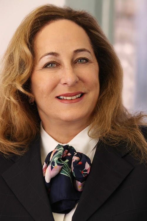
Sally Swanson
Ms. Swanson, Principal of Sally Swanson Architects, Inc. has 45 years of experience in architecture, planning and accessible design and has managed her own award–winning firm since 1980. Ms. Swanson and her team have provided Transition Plans, Self-Evaluations, cost estimates, preliminary plans, and design and construction documents to help various public clients achieve compliance with Federal and California standards.
Universal Design (UD) as practiced by Sally Swanson Architects, Inc. informs Global wayfinding solutions and creates public environments that are enjoyable, easy to use, and work for everyone at any age with or without a disability. The Global Wayfinding principles that relate to spatial planning include: key decision points, identity cues, prioritization of signage, nodes/hub standards and detectable keys to circulation. Over the years, Ms. Swanson has introduced special tools and a process that is time-tested, successful and contains scoping and technical requirements for accessibility to site, facilities, and buildings, with emphasis on providing full and equal access to all. These Global principles and guidelines promote better “access” to transit and public spaces for all users by improving practicality, comfort and feelings of inclusiveness. Ms. Swanson utilizes standards and Transit UD guidelines that she wrote as a member of the American Public Transportation Association (APTA) Urban Design Working Group to identify challenges that people with sensory and/or mobility impairments experience traveling to, riding and getting from transit. A Recommended Practice is an Action Plan developed by Ms. Swanson to implement Universal Design (UD) principles and concepts. Ms. Swanson’s process moves one successfully through a space without doubt, uncertainty or frustration. Ms. Swanson embraces assistive technologies that create solutions for transit environments and other public places. As a Paralympics Reporter accredited by the United States Olympic Committee, she has participated in developing accessibility standards from the Sochi 2014 Winter Paralympic Games, the Rio 2016 Summer Paralympic Games, the PyeongChang 2018 Winter Paralympic Games, the 2020 Tokyo Summer Olympics and Paralympics Games, to the Beijing 2022 Paralympic Winter Games. Ms. Swanson is also a member of the Transportation Research Board (TRB) Subcommittee on Art and Design Excellence in Transportation. Through her pioneering vision, Ms. Swanson shows it is possible to significantly increase the level of accessibility for everyone including the elderly population and persons with disabilities.
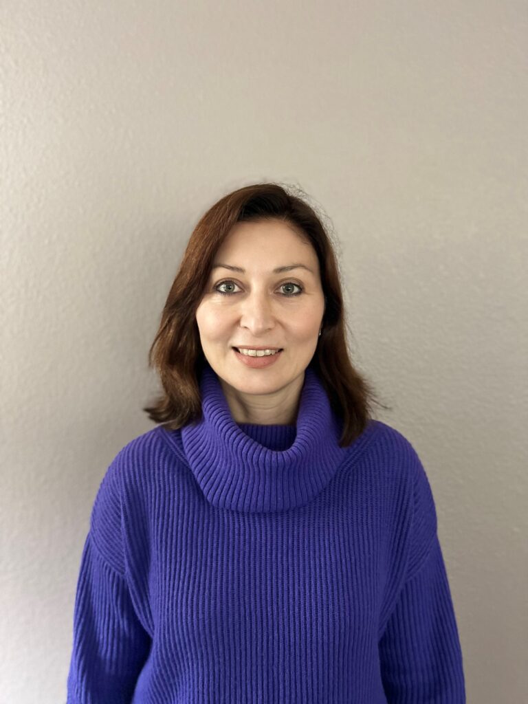
Deniz Turan
Ms. Turan has been utilizing GIS services since her undergraduate years. On every project Ms. Turan was assigned on her path to achieving a Ph.D. in Hydrology as well as her work beyond university, Ms. Turan found it increasingly helpful to present her findings on a GIS-based map with an embedded interactive database including every detailed element of information belonging to that project.
Ms. Turan is a naturally gifted GIS technician who is knowledgeable and skilled with ArcGIS and an individual who truly enjoys working with GIS systems.
Ms. Turan’s day-to-day responsibilities at SSA include managing a team of surveyors to ensure timely and accurate delivery of technical reports, and assigning and supervising report tasks among the team members. Her expertise encompasses detailed Quality Assurance /Quality Control review and finalization of technical reports before submission to clients.
The blending of GIS, database development and mapping brings Ms. Turan’s profound professional strengths to the fore to strategize and benefit each project.
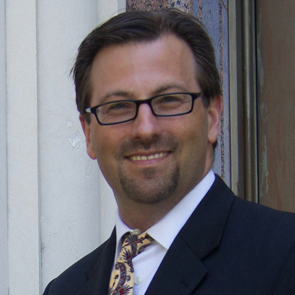
Elliott McFadden
Elliott McFadden is the Greater Minnesota Shared Mobility Coordinator at the Minnesota Department of Transportation where he leads efforts to pilot and scale shared mobility services with public transit partners in rural and small urban communities in Greater Minnesota. He currently serves as the MnDOT lead for their Federal Transit Administration AIM grant award to build a regional Mobility-as-a-Service platform and Western Minnesota COVID-19 Contactless Payment pilot. He also helped lead MnDOT’s FlexPass parking and transit pass project at the ABC Ramps in Minneapolis in partnership with the University of Minnesota.
Elliott is a recognized leader in the shared use mobility industry with over 18 years of experience bringing innovate solutions to market in the transportation space. Before joining MnDOT, he founded and managed the first car sharing service in Texas and served as the CEO of Austin B-cycle, the City of Austin’s bike share system, for six years where he launched and grew the system from 11 stations to 76 stations using federal, local, and private funds, set national bikeshare ridership records, recorded over 1 million trips, and innovated with electric bikes and the first U.S. deployment of seated scooters in partnership with OjO Electric. During that time, he was a co-founder and board member of the North American Bike Share Association, the trade association for shared micromobility.
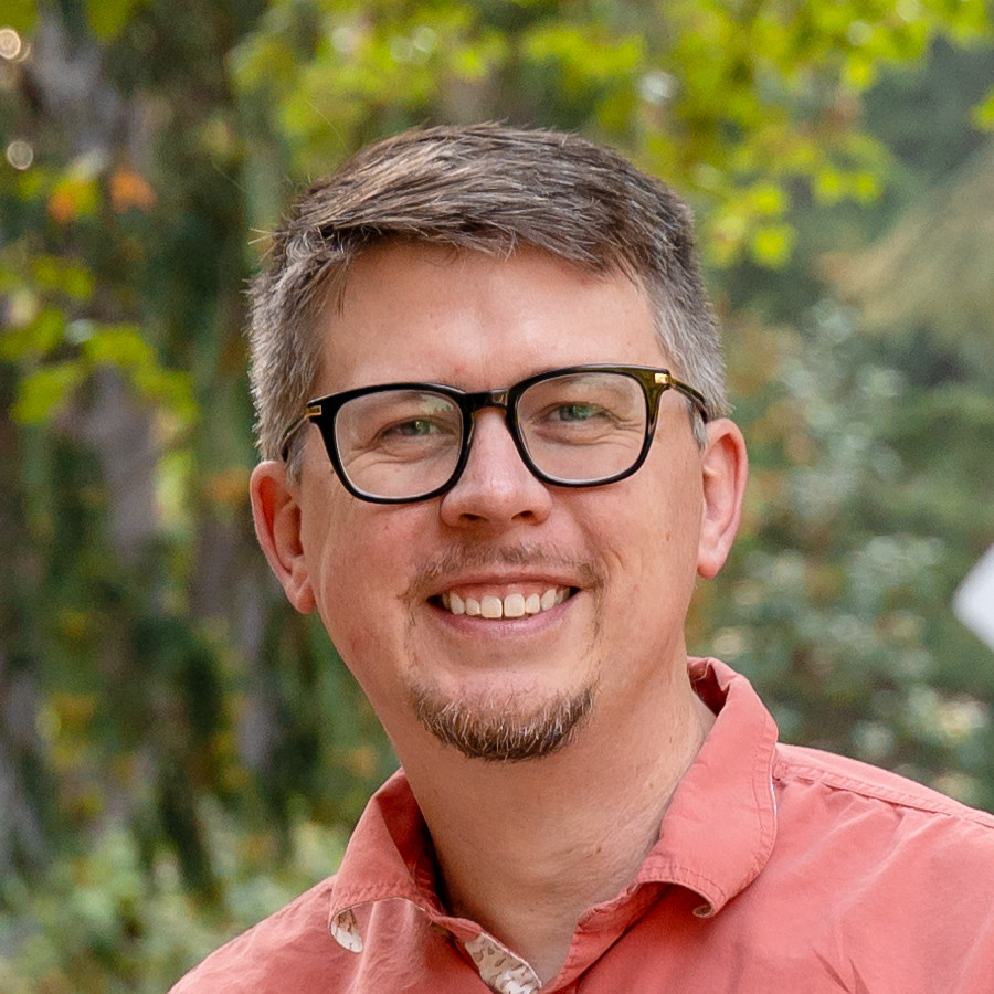
Matthew Weidner
Matthew Weidner leads strategic planning and systems analysis for King County Metro’s demand responsive transportation (DRT) practice. In this role, Matthew leads the agency’s DRT research and spearheads translational technology initiatives to turn theoretical research into operational reality for DRT. He also advises the agency’s DRT strategic technology direction and guides its investment in innovative and emerging mobility programs. With nearly 20 years of experience in the industry, Matthew shares his expertise through numerous transportation and technology committees across the United States.

Elizabeth Sall
Elizabeth Sall is a Principal at UrbanLabs LLC a mission-driven urban science and research firm. Ms. Sall specializes in the intersection of policy with data and technology especially as it relates to travel behavior and multi-modal transportation data. She is currently serving as the Mobility Data Team lead for the California Integrated Travel Project at CalSTA/Caltrans where she oversees a data interoperability portfolio which includes the Mobility Data Interoperability Principles, the Transit Operational Data Standard, advances to the General Transit Feed Specification (GTFS), and making sure data interoperability is benefitting public agencies in a way that improves access for their customers.
Elizabeth is a volunteer with the Zephyr Foundation for Improved Travel Analysis, the Chair of the Transportation Research Board Committee on Travel Forecasting and is a board member of RMI. She has Civil Engineering degrees from North Carolina State University (B.S.) and the University of Texas at Austin (M.S.) and loves walking and paddling around Seattle in the summer and playing in the mountains and biking around near her (temporary) current home in Leavenworth WA. She is an avid rider of the KC Metro 44, Sound Transit 512 (RIP), and the Link Transit 22.
Maggie Cawley
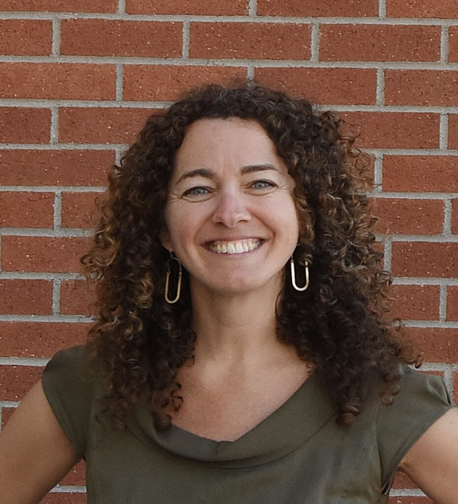
Maggie Cawley currently serves as the Executive Director for OpenStreetMap US. She joined OSM US in March 2019 after 15 years as a geospatial professional with experience across all sectors and industries, with a focus on sustainability and urban planning. As the largest collaborative, freely editable geospatial database of the world, OpenStreetMap sits at the intersection of open data, private industry and government services and has a wide spectrum of stakeholders. In her role, Maggie works to engage, support and grow OpenStreetMap and its community across the United States through advocacy, education, and events like the annual State of the Map US conference.
Steve Yaffee
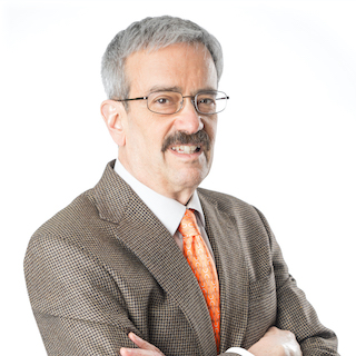
Steve Yaffe (Yaffe Mobility Consulting) oversaw planning and operations for Arlington County’s local fixed-route and demand response transit (sharing practices from both modes). He has prior fixed route experience with RT Metro in Sacramento and Houston Metro as well as demand response experience overseeing WMATA’s MetroAccess service and planning for FASTRAN – Fairfax County’s consolidated human service transportation provider. He is a member of the Transportation Research Board’s Transformative Trends in Transit Data Committee, is a past member of the TRB Paratransit Committee, and co-chaired the 2022 and 2019 TRB International Conferences on Demand Responsive Transportation. He also was a member of the Fairfax Area Long Term Care Coordinating Council and the board of the ENDependence Center of Northern Virginia, a center for independent living. He is a contractor for Easterseals and a grants manager for the National Aging and Disability Transportation Center – www.nadtc.org. He also moderated the recent Global Mass Transit virtual session on Planning and Integrating Microtransit in the Mobility Ecosystem.

Taylor Reich
D. Taylor Reich leads the data science program at the Institute for Transportation and Development Policy, an NGO promoting sustainable and inclusive urban mobility across the Global South. Their work includes Pedestrians First, the first-ever worldwide atlas of walkability measurements. More recently, they collaborated with UC Davis researchers on The Compact City Scenario: Electrified, a global model of potential greenhouse gas reductions from electrification and modal shift in urban passenger transport. Before joining ITDP, they studied housing policy under a Fulbright fellowship in Amman, Jordan.

Anat Caspi
Dr. Anat Caspi designs for the fullness of human experience, guided by the belief that designing for heterogeneous populations of all abilities requires participatory design, qualitative and quantitative mixed methods. Dr. Caspi develops sensor and mobile applications for accessible, personalized navigation and routing in pedestrian ways (visit Accessmap.io), develops emergent technologies for autonomous wheelchairs and creates automated methods for standardized accessibility mapping of the pedestrian built environment (OpenSidewalks data schema). Her research interests are in the areas of applied machine learning and contextually aware robotic systems. More at: https://tcat.cs.washington.edu/

Mark Hallenbeck
Mark Hallenbeck is the Director of the Washington State Transportation Center (TRAC) at the University of Washington (UW.) He is currently helping lead a large ITS4US project funded by USDOT that is defining and deploying a routable, open-source sidewalk network, designed to scale nationally. The project is building and deploying data collection tools, as well as hosting and publishing the data in an OpenStreetMap compatible format.
Kristin Tufte
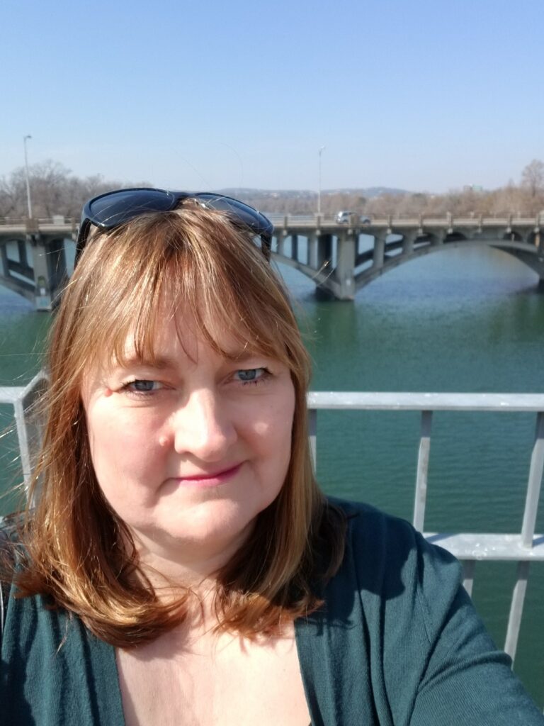
Dr. Kristin Tufte has 25+ years of experience in data management research and implementation. She was a team member on the design and implementation of three novel research data management systems which impacted the data management industry in both parallel data processing and stream data management. She directed the PORTAL program, a data archive for the Portland, OR-Vancouver, WA region with direct impacts on both transportation system operations and planning. Dr. Tufte is currently the Data Management Architect and Lead for the University of Washington ITS4US project – the Transportation Data Equity Initiative. Dr. Tufte holds a PhD in Computer Science from the University of Wisconsin-Madison.

Jon Campbell
Jon is an Associate and Manager of Mobility Software with Arcadis IBI Group based in Portland, Oregon. Jon works on open-source software tools for trip planning and transit data management. This includes OpenTripPlanner (OTP), an open source, multimodal trip planning platform that has been used by transit agencies around the world. He has worked with agencies including TriMet in Portland, the ATL in Atlanta, and Sound Transit in Seattle to implement and enhance the OTP platform. Jon and his colleagues are currently working to augment OTP’s trip discovery and planning features with booking and payment integrations to form an open-source Mobility as a Service toolkit. Throughout his work, Jon is motivated to ensure that technology, software, and data can help foster equitable and accessible mobility options for all.
Uli Gal-Oz
Uli Gal-Oz serves as Chief Business Development and Strategic Initiatives at Moovit. His role includes global strategic partnership and new business initiatives at Moovit.
Uli is a serial entrepreneur with over 25 years of senior management in the tech industry in positions of a CEO or a top business development executive. He joined Moovit in the end of 2019 after serving as VP of Business Development and Vimeo through the acquisition of Magisto.

